






DISCOVER IPROSURV
ONE PARTNER. COMPLETE DRONE SOLUTIONS.
From professional drone operations and training to enterprise equipment and consultancy, we help organisations use drone technology with confidence.
1
Drone Operations
Professional inspections, aerial surveying, mapping and data capture for commercial and industrial applications.
Explore solutions2
Drone Training
CAA-recognised qualifications, instructor-led practical flying and specialist development courses.
Explore training3
Enterprise Equipment
Professional drone platforms, specialist payloads and expert guidance to help you select the right technology.
Explore equipment4
Consultancy & Support
Practical operational advice, regulatory guidance and support for organisations adopting drone technology.
Talk to our team
Explore the possibilities
DRONE SOLUTIONS FOR YOUR INDUSTRY
Every industry faces different challenges. From surveying and inspections to mapping, asset management and environmental monitoring, discover how Iprosurv helps organisations unlock the potential of drone technology.

01 / AGRICULTURE
Agriculture
Crop health monitoring, precision field mapping, drainage assessment and livestock management supported by actionable aerial data.
Explore agriculture →
02 / CONSTRUCTION
Construction & Built Environment
Site progress monitoring, topographical surveys, earthworks analysis, volumetrics and detailed 3D digital models.
Explore construction →
03 / ENERGY
Energy & Renewables
Solar PV inspections, wind energy surveys, thermal imaging and renewable energy asset monitoring.
Explore energy →
04 / ENVIRONMENT
Environment & Forestry
Forestry mapping, storm damage assessment, LiDAR data capture and environmental monitoring across complex landscapes.
Explore environment →
05 / INDUSTRIAL
Industrial & Engineering
Specialist inspections of structures, industrial assets and difficult-to-access environments using appropriate UAS technology.
Explore industrial →
06 / INFRASTRUCTURE
Infrastructure & Utilities
Bridge inspections, power networks, telecommunications assets and water infrastructure surveys.
Explore infrastructure →
07 / INSURANCE
Insurance
Claims assessment, property risk surveys, underwriting evidence and rapid large-loss mapping using detailed aerial information.
Explore insurance →
08 / MARITIME
Maritime, Ports & Coastal
Port infrastructure inspections, coastal mapping, marine asset surveys and aerial monitoring of operational environments.
Explore maritime →
09 / MINING
Mining & Quarrying
Stockpile volumetrics, quarry mapping, site change detection and terrain modelling to support operational decisions.
Explore mining →
10 / PROPERTY
Property & Facilities Management
Roof condition surveys, building inspections, planned maintenance evidence and detailed property asset records.
Explore property →
11 / SECURITY
Security & Public Safety
Perimeter monitoring, event support, incident awareness and emergency planning through aerial information gathering.
Explore security →
12 / SURVEYING
Surveying & Geospatial
High-resolution aerial mapping, topographical surveys, photogrammetry, LiDAR and 3D geospatial deliverables.
Explore surveying →
Professional • Practical • Real-World Skills
DRONE TRAINING
Develop the confidence, knowledge and qualifications to operate drones professionally. From first flights to specialist mapping and inspection applications, our training combines classroom learning with hands-on experience.
Specialist Skills
Advanced Flying & Mapping Techniques
Take your drone skills further with practical aerial data capture, mapping workflows and an introduction to processing professional survey outputs. Ideal for pilots looking to expand into commercial applications.
Explore Course →
Workforce Development
Drone Skills Bootcamp
Build practical drone surveying and digital technology skills through blended learning, instructor-led flying and real-world mapping workflows. Explore opportunities for eligible funded training.
Explore Bootcamp →
CAA Qualifications
Combined A2 CofC & GVC
Complete classroom theory, develop practical flying skills and prepare for assessment on our combined instructor-led course. Build the foundations for operating confidently in UK airspace.
Explore Course →WHY TRAIN WITH IPROSURV?
More than a qualification. Learn from experienced instructors, explore professional drone technology and develop practical skills at our dedicated South Yorkshire training facilities.
01
Dedicated On-Site Flight Training
Our controlled, fenced training area provides space for supervised practical flying, structured exercises and realistic operational scenarios.
02
Indoor Drone Training Facilities
Indoor drone familiarisation, enclosed flying facilities and simulators support learning alongside our classroom and outdoor training.
03
Try Before You Buy
Explore a selection of drone platforms and discover which aircraft best suits your application. Where suitable, try different systems with instructor guidance.
04
Experienced, Practical Instructors
Learn from instructors with real operational experience. Understand not only how to fly, but how to plan, assess risk and apply drone technology professionally.
EXPLORE YOUR NEXT OPPORTUNITY
FEATURED TRAINING OPPORTUNITIES
Discover upcoming instructor-led drone training, practical flight courses and funded learning opportunities designed to develop your skills.
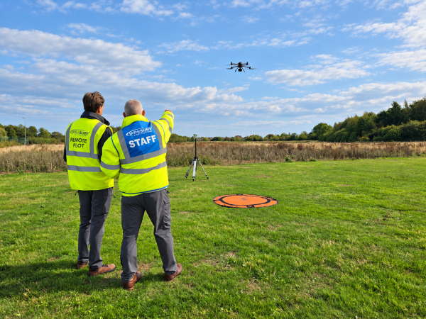
Advanced Flying and Mapping Techniques
Develop advanced drone flying and aerial surveying skills with practical, instructor-led training. Learn professional data capture, mapping techniques and workflows that turn drone imagery into valuable survey outputs.
View Course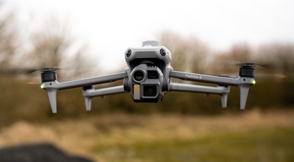
Skills Bootcamp
Develop practical drone surveying and digital mapping skills through our Skills Bootcamp programme. Combine flexible learning with instructor-led flight training, hands-on experience and real-world applications.
View Course





FEATURED DRONE EQUIPMENT
Discover professional drones, specialist payloads and advanced equipment selected for real-world operations. Explore our featured products and find the technology that meets your operational requirements.
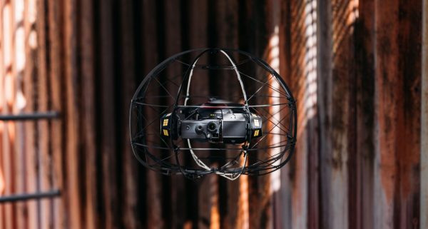
Flybotix ASIO X Revolutionising Confined Space Inspections
IPROSURV EQUIPMENT Flybotix ASIO X Revolutionising Confined Space Inspections Explore the product and build a…
Price range: £29,000.00 through £33,500.00 ex VAT
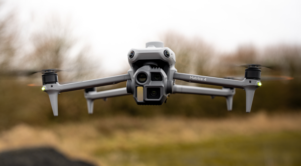
DJI Matrice 4E
Shop › DJI › DJI Matrice 4E DJI · Mapping and geospatial data DJI Matrice…
£3,283.33 ex VAT
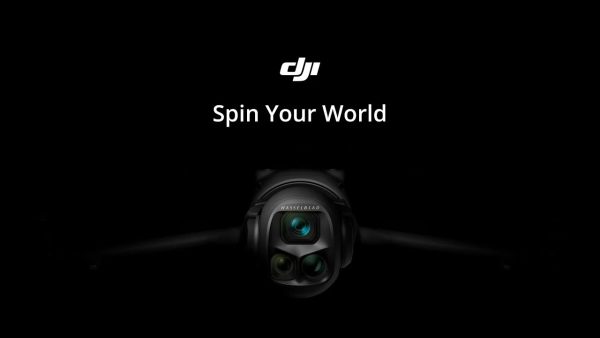
DJI Mavic 4 Pro Fly More Combo – RC 2
Capture detailed aerial photography and cinematic video with the Mavic 4 Pro’s 100MP Hasselblad camera…
£2,049.17 ex VAT
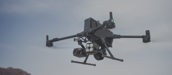
DJI Matrice 400
This package includes the Matrice 400, RC Plus 2, one BS100 battery station, one TB100…
£8,875.00 ex VAT
FROM THE IPROSURV TEAM
LATEST NEWS & INSIGHTS
Explore the latest developments in drone technology, industry insights, practical applications and news from the Iprosurv team.
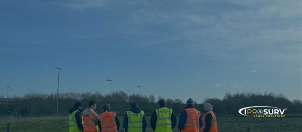
Co-Funded CAA Drone Training with at Least 50% Funding Support in Eligible Areas
CAA-recognised drone training with practical flight sessions, mapping, and hands-on access to multiple platforms. Open to organisations and individuals in…
Read More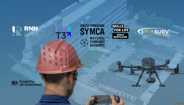
South Yorkshire Skills BootCamp brings drones and digital technology together
New South Yorkshire Skills Bootcamp in Drone Surveying and Digital Construction Launched by RNN Group, T3 Training & Development and…
Read More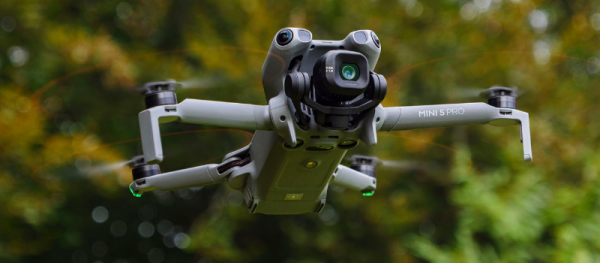
Watching Confidence Take Flight
How One Student Grew from Beginner Mapper to Producing a Great 1st 3D Model Every training provider hopes to see…
Read More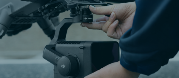
DJI Zenmuse L3: High-Accuracy Long-Range LiDAR Now Available at Iprosurv
DJI Zenmuse L3: High-Accuracy Long-Range LiDAR Now Available at Iprosurv We’re excited to announce that the DJI Zenmuse L3 is…
Read More